
Road Maps
Regional Maps of England & Wales
( Page 4 of 10 )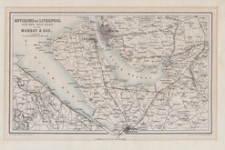
Liverpool Mersey & Dee 1858
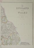
Edward Weller NE England 1859
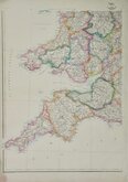
Edward Weller SW England & Wales 1859
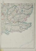
Edward Weller SE England 1859
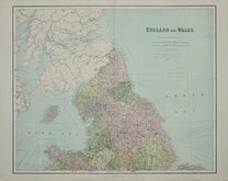
Northern England. William Hughes 1864 [1883]
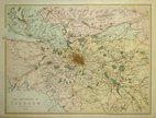
Environs of Glasgow 1867
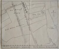
Six Hills Stevenage Herts 1880
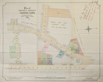
Canning Town Blackheath 1892


18x24 cm
NORTH EAST SURREY
A Map of that part of the County of Surrey which lies within 12 Miles of London.
Copper engraving in later hand colour published in Volume 1 of The Environs of London...by the Rev. Daniel Lysons A.M. F.A.S. Chaplain to the Right Hon. The Earl of Oxford. by T. Cadell, Jun. and W.Davies in 1791.
Quick Links


Folding Maps

Town Plans
×