
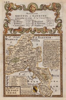
Oxfordshire Maps
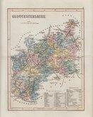
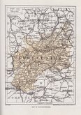
Gloucestershire Maps
( Page 3 of 3 )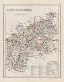
Joshua Archer 1848
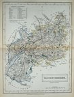
Sidney Hall 1852
Josua Archer 1858
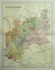
Francis Sidney Weller 1891
Geographia 1924
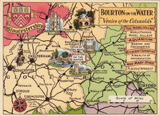
Bourton on the Water Postcard 1965


40x34 cm
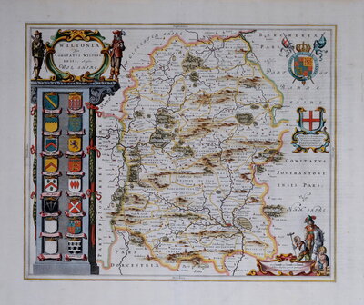
GLOSTER | SHIRE | AD 1712.
Finely engraved map by Herman Moll published in The Ancient and Present State of Gloucestershire by Sir Robert Atkyns. The map is a close copy of Robert Morden's map of 1695 published in William Camden's Britannia including Morden's measures of longitude in minutes of time in the top margin and degrees in the bottom margin. Herman Moll was probably a German emigre. Details of his date and place of birth are uncertain but have been put at Bremen in 1654. He was first recorded as an engraver working on Moses Pitt's English Atlas in 1678. In 1688 Moll was not only engraving but also selling maps from his house in Blackfriars but his career was a map seller was short-lived and he returned to engraving maps for others, including the charts for Greenvile Collin's Coasting Pilot, maps and plates for Stukeley's Itinerarium Curiosum (Moll is known to have been a friend of the antiquarian Stukeley), revisions to Morden's smaller maps published from 1708, and an abortive pocket road book in 1719. Moll's Atlas of 1724 is his only complete work, distinguished by the antiquities engraved in the borders, the maps, again, were based on Robert Morden's maps published in Britannia.
A little off-setting but a fine hand coloured example of an uncommon map.
Quick Links

Somerset Maps
Wiltshire Maps
×