
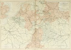
Germany
Whole of Europe
( Page 1 of 2 )
Aaron Arrowsmith 1842
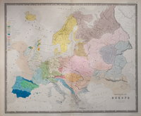
Ethnographic Map 1843
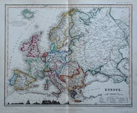
Selina Hall 1843
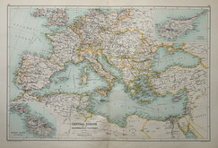
Central Europe by Hughes 1846
August Petermann 1860
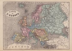
Libraire Historique et Scientific 1877
W & A K Johnston 1884
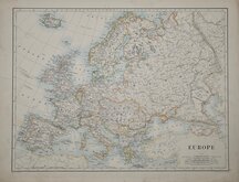
J G Bartholomew 1892


24x31 cm
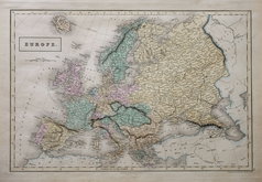
PHYSICAL MAP OF EUROPE
Coloured lithograph published in The English Imperial Atlas and Gazetteer of the World by J. G. Bartholomew, F.R.S.E., F.R.G.S. London. T. Nelson & Sons, Paternoster Row. Edinburgh and New York. (1892)
Section across Northern Europe along bottom margin. Inset charts of January and July Isotherms and Temperature range.
Crease right margin. Half map of Europe verso.
Quick Links
Whole of France
Italy
×