
Middlesex Maps
Surrey Maps
( Page 4 of 5 )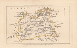
John Walker 1831
John Walker 1831 [c.1832]
Selina Hall 1833 [1852]
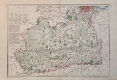
Robert Scott 1833 [c.1845]
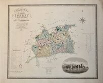
Christopher & John Greenwood 1834
James Pigot 1839 [1841]
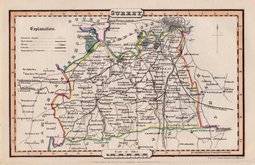
Joshua Archer 1842 [1845]
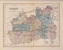
Benjamin Rees Davies 1863 [1867]


25x20 cm
DETAILED POCKET MAP WITH PASTORAL TITLE CARTOUCHE.
A Modern MAP of SURREY, Drawn from the latest Surveys; Corrected & Improved by ye best Authorities. J. Ellis Sculpt.
Printed for Robt. Sayer in Fleet Street, & Carington Bowles in St. Pauls Church yard.
First published in The New English Atlas… in 1765, the atlas became a considerable success with many editions under the title Ellis's English Atlas, being published over a period of thirty years from the offices of Robert Sayer and Carington Bowles. Most of the maps were copied from those by Thomas Kitchin in a rival publication of similar pocket size by Robert Dodsley England Illustrated first published in 1763 but which not achieve the same commercial success.
Very good example in fine later hand colour from the 1773 edition of Ellis's English Atlas.
Quick Links


Kent Maps

Sussex Maps
×