
Kent Maps
Surrey Maps
( Page 2 of 5 )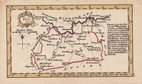
John Gibson 1759
Joseph Ellis 1765 [1773]
Antonio Zatta 1779
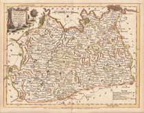
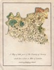
John Haywood 1788
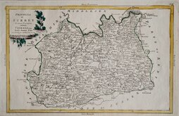
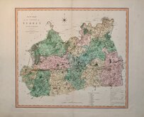
Cadell & Davies 1791
Benjamin Baker 1794 [1806]
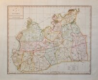
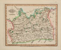
Charles Smith 1801
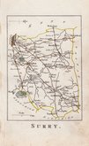
Robert Butters 1803


43x35 cm
CLEAR MAP IN NEAT WASH HAND COLOUR.
A MAP OF SURRY, ENGRAVED FROM AN ACTUAL SURVEY with Improvements.
Heywood del. | Sudlow sc.
London, Engraved for J. Harrison, 115, Newgate Street, as the Act directs, May 16, 1788.
Copper engraving by Edward Sudlow (fl.1784-1793) from a drawing by John Haywood (fl.1781-1792). Maps from this series were first issued at erratic intervals over a four year period from September 1787, first published in atlas form in 1791 in Maps of The English Counties by John Harrison. Despite the claim in the title, the map is actually based on Thomas Kitchin's map for his Large English Atlas of 1750.
Vertical folds as issued. Good hand coloured example, generous margins.
Quick Links


Sussex Maps

Middlesex Maps
×