
Middlesex Maps
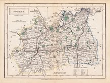
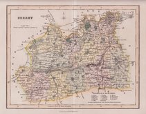
Surrey Maps
( Page 4 of 5 )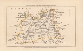
John Walker 1831
John Walker 1831 [c.1832]
Selina Hall 1833 [1852]
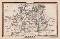
Robert Scott 1833 [c.1845]
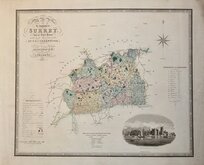
Christopher & John Greenwood 1834
James Pigot 1839 [1841]
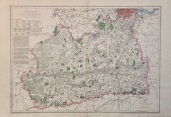
Joshua Archer 1842 [1845]
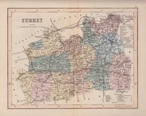
Benjamin Rees Davies 1863 [1867]


18x24 cm
NORTH EAST SURREY
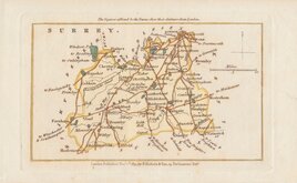
A Map of that part of the County of Surrey which lies within 12 Miles of London.
Copper engraving in later hand colour published in Volume 1 of The Environs of London...by the Rev. Daniel Lysons A.M. F.A.S. Chaplain to the Right Hon. The Earl of Oxford. by T. Cadell, Jun. and W.Davies in 1791.
Quick Links


Kent Maps

Sussex Maps
×