
Middlesex Maps
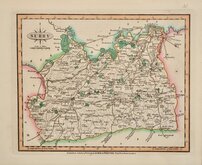
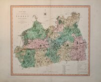
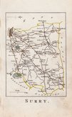
Surrey Maps
( Page 2 of 5 )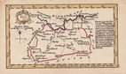
John Gibson 1759
Joseph Ellis 1765 [1773]
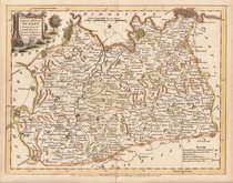
Antonio Zatta 1779
John Haywood 1788
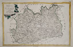
Cadell & Davies 1791
Benjamin Baker 1794 [1806]
Charles Smith 1801
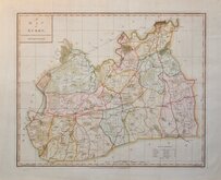
Robert Butters 1803


20x17 cm
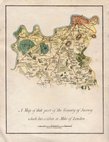
JOHN ROCQUE EDITION
SURREY
Closely based on Herman Moll's maps of 1724, Thomas Read, the printer, published the maps in parts issued at weekly intervals from 26 November 1743 to 1 September 1744. The speed of production would have required the employment of several engravers but none have been identified. Surrey appeared in the issue for 28th July 1744.
The three volume topographical work containing all the maps, The English Traveller…, was first issued in 1746.
On the death or retirement of Thomas Read, the maps passed into the hands of Huguenot John Roque who published them with a further 19 maps (probably prepared by Read), with revisions to most of the maps, in The Small British Atlas… from 1753 to 1764 and in England Displayed… from 1769 to 1770.
This map of Surrey is from a Rocque edition of 1753. Fine later hand colour. Very good condition.
Quick Links


Kent Maps

Sussex Maps
×