
Norfolk Maps
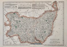
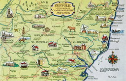
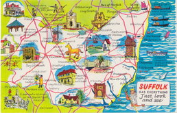
Suffolk Maps
( Page 3 of 4 )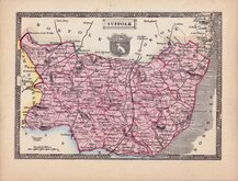
Thomas Johnson 1834 [1847]
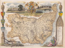
Thomas Moule 1837 [1842]
Joshua Archer 1842 [1848]
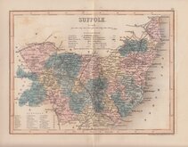
Joshua Archer 1842 [1858]
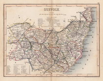
James Virtue 1852
John Dower 1867
Suffolk Postcard 1958
Suffolk Postcard 1960


24x19 cm
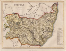
STEEL ENGRAVING WITH VIGNETTE OF YARMOUTH
SUFFOLK
Published by Arch.d Fullarton & C.o
Steel engraving by Robert Scott (1771-1841) first published in Bell's New and Comprehensive Gazetteer in 1833. The text for the gazetteer was largely copied from Lewis' Topographical Dictionary of 1831 and in 1839 Lewis obtained an injunction against Bell for plagiarism and the work was withdrawn. Archibald Fullarton, the publisher of Bell's Gazetteer republished the maps with new text in The Parliamentary Gazetteer from 1840 until 1849. Most of the maps were copied from maps by Sidney Hall in John Gorton's Topographical Dictionary of Great Britain and Ireland published in 1831 as a rival to Lewis' work.
This fine example of the map of Suffolk with the addition of the London to Norwich Railway was published c.1845.
Fine hand colour. Vignette of Yarmouth from the Roads (the Roads are a coastal feature associated with wrecks.)
Quick Links

Essex Maps

Cambridgeshire Maps
×