
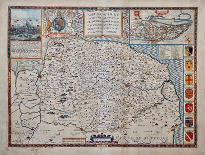
Norfolk Maps
Suffolk Maps
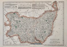
( Page 3 of 4 )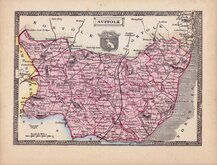
Thomas Johnson 1834 [1847]
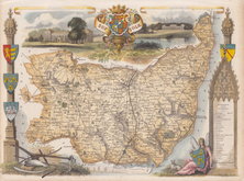
Thomas Moule 1837 [1842]
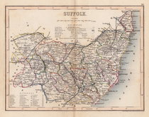
Joshua Archer 1842 [1848]
Joshua Archer 1842 [1858]
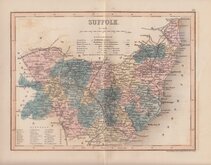
James Virtue 1852
John Dower 1867
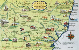
Suffolk Postcard 1958
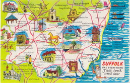
Suffolk Postcard 1960


23x18 cm
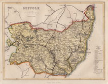
COLE AND ROPER FIRST ISSUE
SUFFOLK
Engraved by J. Roper from a drawing by G. Cole. | to accompany the Beautes of England & Wales.
London Published for the Proprietors by Vernor Hood & Sharpe. Poultry. May 1.st 1805
Engraved by John Roper (1771-1810), a London engraver and copperplate printer trading from New Street Square from 1797 until his death in 1810. His widow, Mary Roper, continued the business at the same address until at least 1846. This series of maps, most drawn by G[eorge?] Cole, were intended to accompany The Beauties of England and Wales. The maps were not actually published with this work but first issued in parts as a separate series between 1804 and 1810 and first appearing in atlas form in The British Atlas published by Vernor Hood & Sharpe (& nine other publishers) in 1810. The maps were re-issued in several publications including Dugdale's Curiosities of Great Britain until 1843. Their final appearance was by lithographic transfer in Collins' railway and pedestrian atlas… published by Darton and Co. in 1858.
Later red underlining to 3 place names; Southwold, Lowestoft and Thetford, but still a very good example from the first edition in original hand colour.
Quick Links

Essex Maps

Cambridgeshire Maps
×