
Derbyshire Maps
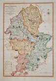
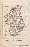
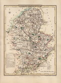
Staffordshire Maps
( Page 2 of 4 )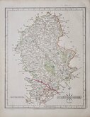
John Cary 1793 [1808]
William Yates 1798
Robert Butters 1803
George Cole 1808
George Cole 1808
John Cary 1809
Samuel John Neele 1812
Sidney Hall 1820


22x27 cm
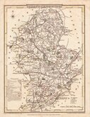
CARY'S "QUARTO" SERIES. FIRST STATE OF THE RE-ENGRAVED PLATE
STAFFORDSHIRE By JOHN CARY Engraver.
London: Publish'd Jan.1.st 1793 by J.Cary Engraver & Mapseller Strand.
Copper engraving by John Cary. This series of maps, commonly known as his "quarto" series, were published in Cary's New and Correct English Atlas and were justifiably popular, running to many editions from 1787 until about 1804. Re-engraved plates extended the life of the series from 1808 to 1843 and lithographic transfers from the plates by later publishers continued publication until about 1876 - a life of nearly 90 years.
First state of the re-engraved plate published in Cary's New and Correct English Atlas... London 1793 [actually published in 1808].
Original hand colour but with later red line to Wolverhampton Birmingham road.
Quick Links

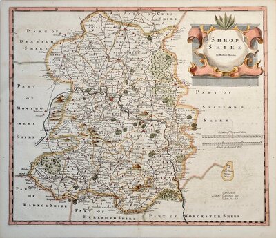
Shropshire Maps

Worcestershire Maps
×