
Derbyshire Maps
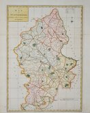
Staffordshire Maps
( Page 1 of 4 )
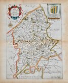
John Speed 1610 [1676]
Richard Blome 1673

Robert Morden 1695
Emanuel Bowen 1720
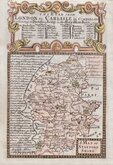
Thomas Read 1744 [c.1769]
Joseph Ellis 1765 [1773]

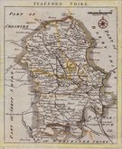
John Cary 1789 [1805]
John Haywood 1791


20x26 cm
FIRST ISSUE WITH IMPRINT OF JAMES ROBINS.
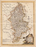
STAFFORDSHIRE Neele Sculpt. Strand. Published by J. Robins & Co. Albion Press London. January 1st 1812.
Drawn and engraved by Samuel John Neele, this series were based on John Cary's 'quarto' maps of 1793. The early publication of this series is complex with loose issues and parts issues for many counties from about 1812. The first main publication containing the complete set of county maps was The New British Traveller; or, modern panorama of England and Wales...By James Dugdale... published about 1818 by J & J Cundee. The map appeared in only three further issues under different titles in 1819 and 1820.
From the first issue with the dated imprint of the publisher James Robins. The small margins top and left have been re-margined in matching paper.
Quick Links

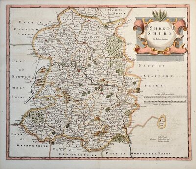
Shropshire Maps

Worcestershire Maps
×