
Australasia & Pacific
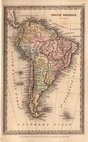
South America
( Page 1 of 4 )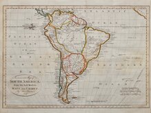
Thomas Bowen 1788
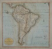
William Guthrie 1792
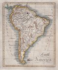
Lawson 1808
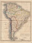
Sidney Hall 1826
Saint Elias and Monserrate 1827
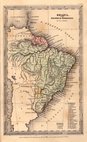
Brazil by Starling 1831
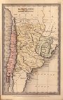
Chile & Argentina by Starling 1831
Thomas Starling 1831

£15 Saint Elias and Monserrate
Ref: dsm26
Add to
basket
Thanks,Your Product Has Been Added To Basket

56x49 cm
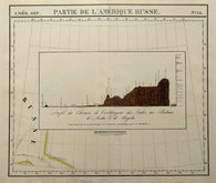
PARTIE DE L'AMERIQUE RUSSE.
Inset: Profil du Chemin de Carthagene des Indes au Plateau de Sante Fe de Bogota.
Large lithograph published by Philippe Vandermaelen (1796-1869) in Atlas Universel 1827. This was the first world atlas drawn at a universal scale and the first printed by the process of lithography.
Showing the area around Mount Saint Elias on the Yukon and Alaska border at a scale of approximately 1 inch to 26 miles.
The inset shows a profile of the Mountains of Monserrate at Sante Fe in Columbia drawn by Alexander von Humboldt (1769-1859).
Quick Links
Africa
North America
×