
Mediterranean
Parts Regions & Departments of France
( Page 3 of 19 )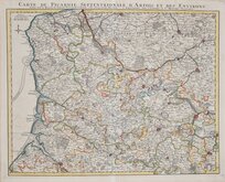
Picardy by Delisle 1745
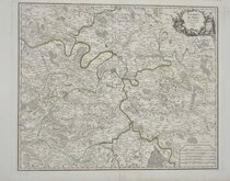
Paris Environs by Robert de Vaugondy 1753
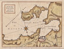
Bay of Toulon 1759
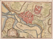
Boulogne 1760
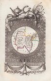
Ain departement 1823
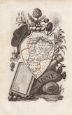
Aisne departement 1823
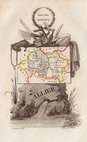
Allier departement 1823
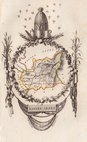
Alpes de Haute Provence 1823


62x51 cm
CARTE DE PICARDIE SEPTENTRIONALE D'ARTOIS ET DES ENVIRONS, ou l'on voit le Ressort du Conseil Provincial d'Artois. Par GULLAUME DE L'ISLE, AMSTERDAM chez J. COVENS et C. MORTIER Geographes.
J. Condet sc.
Picardie by Guillaume Delisle (1675-1726) French cartographer known for his accurate maps of Europe and the Americas. Published by the Dutch publishing House of Covens and Mortier, Amsterdam c.1745.
Showing the region of Hautes-de-France including Pas-de-Calais, Nord and Picardy.
Very good example on heavy paper in original hand colour.
Quick Links

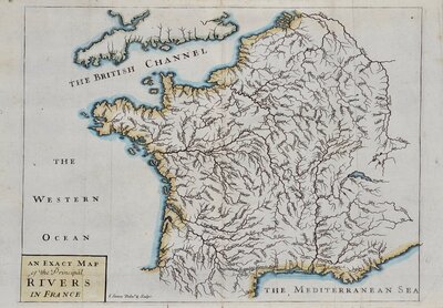
Whole of France

Whole of Europe
×