
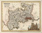
Hertfordshire Maps
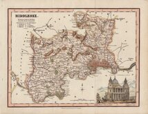
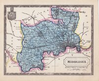
Middlesex Maps
( Page 4 of 5 )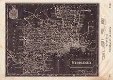
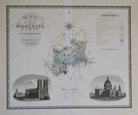
Selina Hall 1833
Robert Scott 1833 [1843]
Robert Scott 1833 [1843]
Selina Hall 1833 [1847]
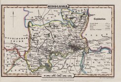
C & J Greenwood 1834
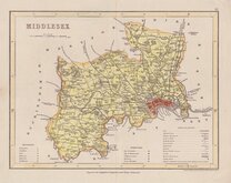
James Pigot 1839
Joshua Archer 1842
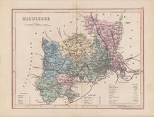
Joshua Archer 1842 [1858]


46x31 cm
COLOUR PRINTED LITHOGRAPH.
MIDDLESEX
REVISED THROUGHOUT BY THE NEW ORDNANCE SURVEY Divided into 5 mile squares
Bacon's Geographical Establishment.
Lithograph colour printed map from Bacon's Popular Atlas of the British Isles. Colours indicating the Parliamentary divisons and boroughs with a key and population census top left.
Good clean condition.
Quick Links


Environs of London

Central London
×