
Cambridgeshire Maps
Huntingdonshire Maps
( Page 1 of 5 )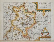
William Kip 1607 [1637]
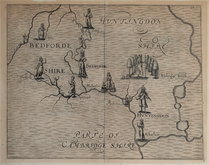
Michael Drayton 1622
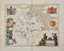
Jan Blaeu 1645
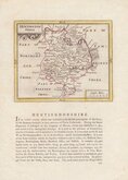
John Seller 1694 [c.1784]
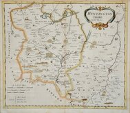
Robert Morden 1695
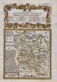
Owen & Bowen 1720
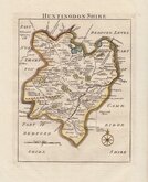
Thomas Read 1744 [1769]
Thomas Kitchin 1763
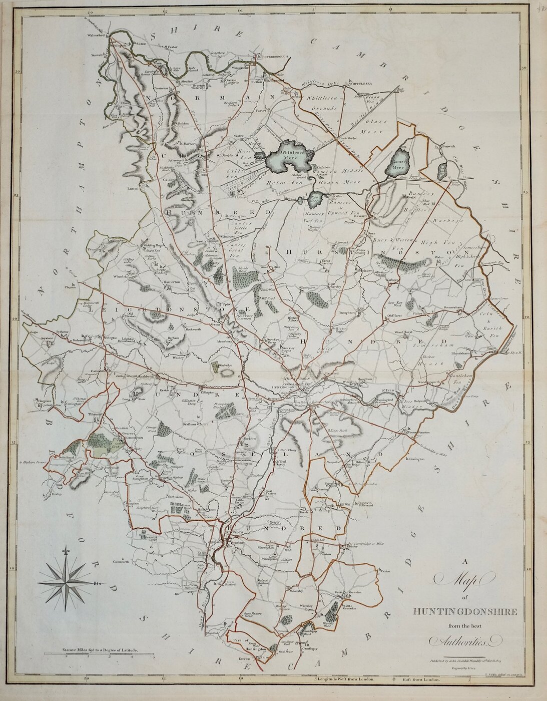

41x53 cm
"CARY STOCKDALE"
A Map of HUNTINGDONSHIRE from the best Authorities.
Published by John Stockdale Piccadilly 26.th March 1805.
Engraved by J. Cary.
E. Noble delin.t et curavit.
Copper engraving by John Cary (1755-1835) from a drawing by Edward Noble (fl.1771-1784) first issued in parts by T. Payne & Son, and G.G.J. & J. Robinson for Richard Gough's translation of William Camden's Britannia, the completed work being published in 1789. Following the death of Payne, the Robinson family sold the plates and publication rights to John Stockdale. Richard Gough was reportedly annoyed with the new arrangements and refused to work on the new edition and Stockdale completed the editorial work himself, expanding the work to four folio volumes and publishing them in 1806. Stockdale also used the plates in his New British Atlas from 1805 to 1809.
Small left and upper margins. A good hand coloured example from Stockdale's New British Atlas of 1805.
Dated watermark of 1804.
Quick Links
Northamptonshire Maps
Bedfordshire Maps
×