
Northamptonshire Maps
Huntingdonshire Maps
( Page 1 of 5 )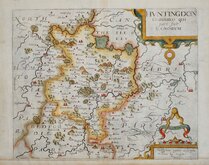
William Kip 1607 [1637]
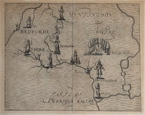
Michael Drayton 1622
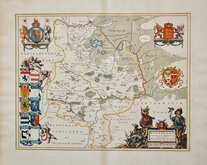
Jan Blaeu 1645
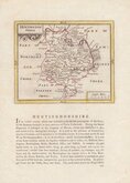
John Seller 1694 [c.1784]
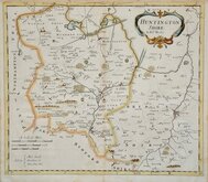
Robert Morden 1695
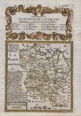
Owen & Bowen 1720
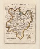
Thomas Read 1744 [1769]
Thomas Kitchin 1763
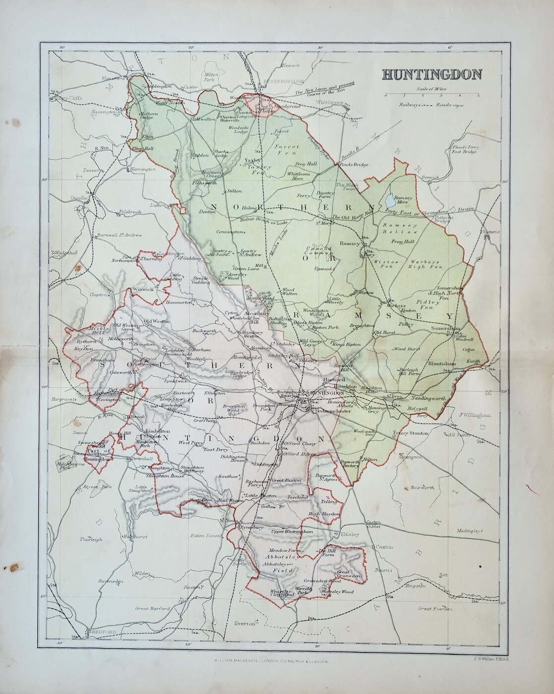

22x28 cm
EARLY COLOUR PRINTED MAP
HUNTINGDON
F.S.Weller, F.R.G.S.
WILLIAM MACKENZIE, LONDON, EDINBURGH & GLASGOW
Lithograph printed map from an engraving by F. S. Weller published by William Mackenzie in The Comprehensive Gazetteer of England and Wales published in parts from c.1891-1895. The plate from which the lithograph was taken was never used for direct intaglio printing. The map is based on the New Series One Inch Ordnance Survey and has been overprinted in colours showing the county divided into the administrative units of Ramsey and Huntingdon.
Some marking in margins otherwise good.
Quick Links
Bedfordshire Maps
Cambridgeshire Maps
×