
Europe
Historical Maps
( Page 8 of 10 )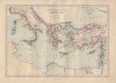
Journeys of Paul 1870
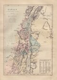
Canaan Tribes of Israel 1870
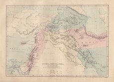
Assyria Armenia Syria 1870
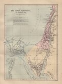
Sinai Peninsula 1870
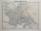
France en 1811 1878
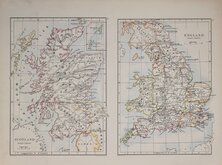
England & Scotland set 1884
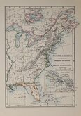
World N America India 1884
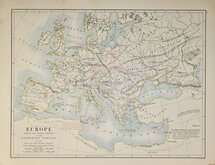
Roman Empire 1884


25x18 cm
The Eastern Mediterranean & adjacent Lands ILLUSTRATING THE MISSIONARY JOURNEYS & LAST VOYAGE of the APOSTLE PAUL.
W. Hughes
J.G. Murdoch, London.
Lithograph printed map engraved on steel by William Hughes (1818?-1876) published by Jon G. Murdoch in a family bible c.1870
Quick Links


Mediterranean

Road Maps
×