
Road Maps
Historical Maps
( Page 6 of 10 )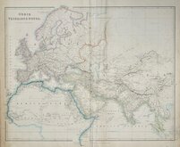
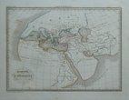
World as known to the Ancients 1842
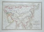
Mongol Empire 1843
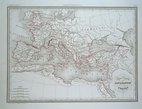
Roman Empire under Constantine 1843
Ancient World by Hughes 1843
World of Herodotus 1846
Charles Newton Yorkshire 1847
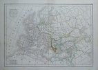
Barbarian Europe 1850
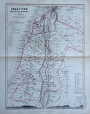
Palestine by Petermann 1850

£10 Seven Years War Upper Saxony
Ref: 2025gw
Add to
basket
Thanks,Your Product Has Been Added To Basket

26x20 cm
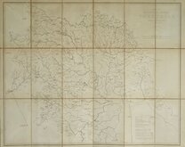
NORTHERN GERMANY & POLAND. SEVEN YEARS WAR (1756-1763).
A Map of UPPER SAXONY Comprehending that Part of GERMANY which is the Present Seat of War.
Published in The Genteman's Magazine...D. Henry & R. Cave, London 1757.
Quick Links


Europe

Mediterranean
×