
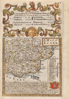
Essex Maps
Hertfordshire Maps
( Page 1 of 11 )
William Kip 1610

John Speed 1614

John Speed Original Colour 1616

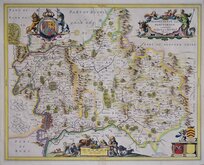
Jan Jansson 1646
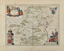
Jan Jansson 1646

Pieter Keere 1646
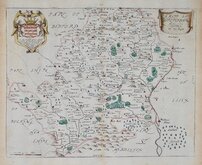
Jan Blaeu 1662
Richard Blome 1673


12x8 cm
HERTFORDSHIRE.
Pub. by S. Leigh 18, Strand. | Sidy. Hall sculpt.
Miniature map engraved by Sidney Hall and first published by Samuel Leigh in Leigh's New Pocket Atlas of England and Wales in 1820. The demand for pocket atlases for the traveller was high during the first half of the 19th century and this little atlas, Samuel Leigh's only cartographic work, was very popular, running to ten editions with publications continued after his death by his widow and then his son until 1839. The plates were then acquired by George Biggs who published them a number of times until 1843.
Good hand coloured example in the first state published from 1820 to 1831
Hodson Printed Maps of Hertfordshire ref. 78(i)
Quick Links

Middlesex Maps
Hertfordshire Prints
×