
Worcestershire Maps
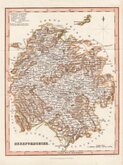
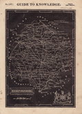
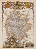
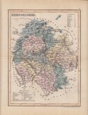
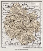
Herefordshire Maps
( Page 3 of 3 )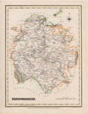
Roger Creighton 1831
Gray & Son 1833
Josua Archer 1833
Thomas Moule 1837 [1842]
James Pigot 1839
Joshua Archer 1842 [1858]
Geographia 1924


10x15 cm
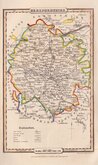
CARY'S MINIATURE SERIES.
HEREFORDSHIRE
By J.Cary | Engraver
London. Published Sepr.1.1792 by J.Cary Engraver N.o181 Strand.
Issued under the title of Cary's Traveller's Companion, this pocket atlas was a highly successful work necessitating the re-engraving of worn plates to continue publication. This first plate was published from 1789 to 1801 before it became necessary to engrave a new plate. The imprint is dated 1792, but was actually published in 1791. Map of Hertfordshire verso.
Small margins with partial loss of compass point. Fingermarking. Edge nick bottom left. For image verso, see listing under Hertfordshire maps.
Quick Links


Gloucestershire Maps

Wales Maps
×