
Ordnance Survey Maps
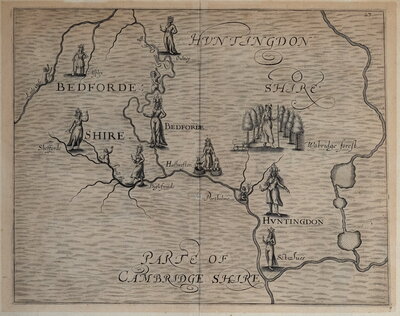
Folding Maps
( Page 1 of 18 )
Bowles. England & Wales. 1811

Thomas Dix Derbyshire. 1818

Thomas Dix. Yorkshire. 1820

Hebner & Phillips. South East 1821

Henry Teesdale Yorkshire 1828
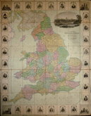
Robert Seaton. England & Wales 1838

Hobson's Yorkshire 1843

Stephen Glover 1845


£75 Ordnance Survey 1:500 Leeds
Ref: 6468wt
Add to
basket
Thanks,Your Product Has Been Added To Basket

104x138 cm
FIRST EDITION, 1891
YORKSHIRE [WEST RIDING] LEEDS. SHEET CCXVIII. 2. 21.
CCXVIII. 6. 6.
Surveyed in 1889 Reprint by Heliozincography...100 / 1900
Photozincographed and published at the Ordnance Survey Office, Southampton, 1891
Scale 1:500 being 10·56 Feet to One Statute Mile or 41·66 Feet to One Inch.
Two sheets joined, segmented into 64 sections, linen backed in blue cloth covers with paper label: ORDNANCE SURVEY MAP. SHEET No. [blank] AGENT FOR LEEDS AND DISTRICT: RICHARD JACKSON, 16 & 17. Commercial St.
Very large scale showing part of Leeds town centre extending from The Headrow in the north to The Train Station and Swinegate in the south, and from King Street in the west to (St Johns Shopping centre) in the east.
This series of large scale town plans was the most detailed mapping by the Ordnance Survey and was carried out from the 1850's to the 1890's with nearly 400 towns surveyed. Following the cholera epidemic of 1832 the Poor law commiissioners recommended that the Ordnance Survey produce detailed town plans to encourage local authorities to make sanitary improvements and in 1846 the Treasury gave authority for the surveys. The Public Health Act of 1848 approved the formation of Local Boards of Health in urban areas to ensure clean water supply, maintain sewers, clean streets and regulate slaughterhouses. In 1855, following recommendations from Henry James, Superintendent of the Ordnance Survey, The Treasury approved the mapping of towns with a population of over 4,000 at the metric equivalent of the ten-foot scale (1:500).
In 1894 the Treasury recommended that large scale town plans should be made on a repayment basis by the town. Fourteen towns were mapped on this basis until 1909 but official publication of the maps by the Ordnance Survey ceased. The largest subsequent mapping by the Ordnance Survey has been the OS National Grid 1:1250 series from the 1940's.
Very good condtion with minimal wear at edges and folds of a rare and highly detailed large scale map.
Quick Links

English Counties

Regional Maps
×