
Regional Maps of England & Wales
Folding Maps
( Page 2 of 17 )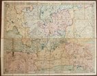
Cruchley Environs of London 1845
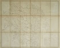
Charles Newton Yorkshire 1847
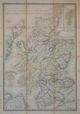
James Wyld 1862
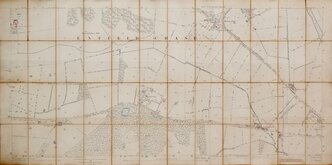
Enfield Chase 1885
Leeds 1:500 1891
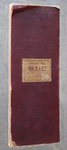
Burley Yorkshire 1:2500 1893
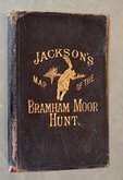
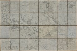
Jacksons Bramham Moor Hunt 1895
Ilkley and Otley 1895


84x57 cm
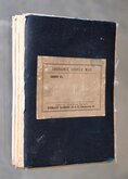
BARTHOLOMEW'S REVISED HALF-INCH MAP
SURREY
GREAT BRITAIN, SHEET 9
THE EDINBURGHGEOGRAPHICAL INSTITUTE.
BY APPOINTMENT TO THE LATE KING GEORGE V.
Reduced by permission from the Ordnance Survey with local revision to date of publication, June 1947.
COPYRIGHT - JOHN BARTHOLOMEW & SON. LTD.
Cloth backed.
Condition: Very good, very light wear at folds.
Quick Links


English Counties

Ordnance Survey Maps
×