
English Counties
Folding Maps
( Page 2 of 17 )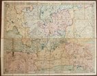
Cruchley Environs of London 1845
Charles Newton Yorkshire 1847
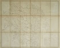
James Wyld 1862
Enfield Chase 1885
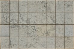
Leeds 1:500 1891
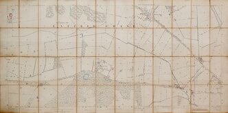
Burley Yorkshire 1:2500 1893
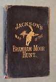
Jacksons Bramham Moor Hunt 1895
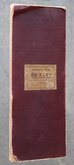
Ilkley and Otley 1895

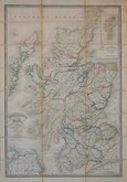
£4 Bartholomew Buchan and Strathbogie
Ref: fb96
Add to
basket
Thanks,Your Product Has Been Added To Basket

85x57 cm
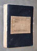
BARTHOLOMEW'S REVISED HALF-INCH MAP
BUCHAN AND STRATHBOGIE
SCOTLAND, SHEET 22 (K5)
THE EDINBURGH GEOGRAPHICAL INSTITUTE.
BY APPOINTMENT TO H.M. THE KING
Reduced by permission from the Ordnance Survey with local revision to date of publication. 1937
COPYRIGHT - JOHN BARTHOLOMEW & SON, LTD.
Cloth backed.
Condition: Good. Some light wear at fold intersections. Price label to front cover. Pasted advertisement for Bartholomew'a Pocket Atlases verso.
Quick Links


Regional Maps of England & Wales

Ordnance Survey Maps
×