
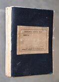
Ordnance Survey Maps
Folding Maps
( Page 2 of 17 )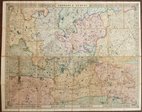
Cruchley Environs of London 1845
Charles Newton Yorkshire 1847
James Wyld 1862
Enfield Chase 1885
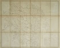
Leeds 1:500 1891
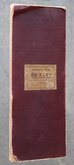
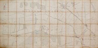
Burley Yorkshire 1:2500 1893
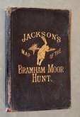
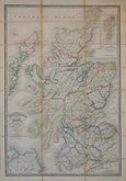
Jacksons Bramham Moor Hunt 1895
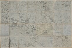
Ilkley and Otley 1895


86x59 cm
BARTHOLOMEW'S REVISED HALF-INCH MAP
NORFOLK
GREAT BRITAIN. SHEET 26
PRINTED IN GREAT BRITAIN
BY APPOINTMENT TO THE LATE KING GEORGE V.
Reduced by permission from the Ordnance Survey with local revision to date of publication. 1959
© — JOHN BARTHOLOMEW & SON. LTD. EDINBURGH. 9
Paper
Condition: Fair. Some wear at folds and a couple of fold splits.
Quick Links


Regional Maps of England & Wales

English Counties
×