

Hertfordshire Maps
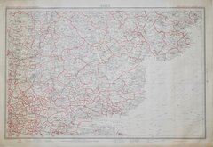
Essex Maps
( Page 5 of 5 )

22x16 cm
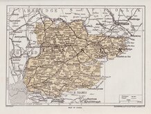
ESSEX (Title over map)
MAP OF ESSEX.
GEOGRAPHICA (1923) L.TD 55 FLEET STREET LONDON E.C.4.
Full page map printed in Britain Beautiful Hutchinson & Co., Paternoster Row. published from 1924.
Geographia, map publisher from 1911 until 1987, traded as "Geographia (1923) Ltd." between 1923 and 1925.
Quick Links


Road Maps
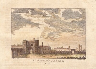
Essex Prints
×