
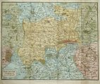
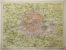
Middlesex Maps
Environs of London
( Page 1 of 2 )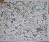
John Stockdale 1796
Thomas Tegg 1815 [c.1816]
John Russell 1818
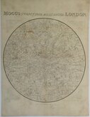
Edward Mogg 1832
William Hughes 1842
Cruchley Environs of London 1845
Joseph Hutchins Colton 1857
John Bartholomew 1892


46x31 cm
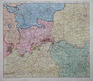
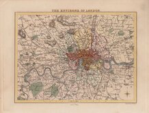
THE ENVIRONS OF LONDON
G W Bacon & Co. Ltd. London. | DIVIDED INTO TEN MILE SQUARES AND CIRCLES.
Lithograph printed map from Bacon's Popular Atlas of the British Isles.
Extent: Reading to Southend and East Grinstead to Aylesbury.
Quick Links


Central London
Ward Plans and Parts of London
×