
Central London
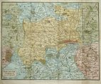
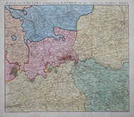
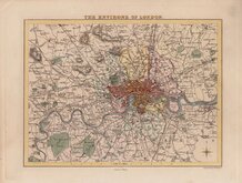
Environs of London
( Page 1 of 2 )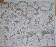
John Stockdale 1796
Thomas Tegg 1815 [c.1816]
John Russell 1818
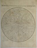
Edward Mogg 1832
William Hughes 1842
Cruchley Environs of London 1845
Joseph Hutchins Colton 1857
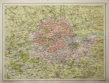
John Bartholomew 1892


49x32 cm
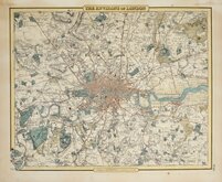
RAILWAY MAP | OF | LONDON & SUBURBS | SHOWING | EACH COMPANY'S LINE | IN A SEPARATE CHARACTER. | SCALE - 1 INCH TO A MILE
2 colour Lithograph printed map of Rail and Underground Tube lines in London and suburbs by G W Bacon published in his Popular Atlas of the British Isles.
Extent: Alexandra Palace to Beckenham Junction & Hounslow to Barking.
Good condition.
Quick Links

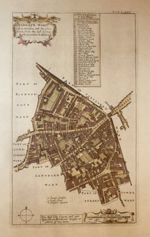
Ward Plans and Parts of London

Middlesex Maps
×