
Hampshire Maps
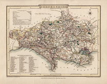
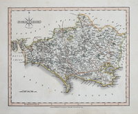
Dorset Maps
( Page 2 of 3 )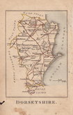
Robert Butters 1803
Cole & Roper 1805
John Cary 1809
Sidney Hall 1820
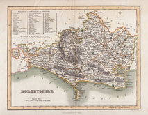
George & John Cary 1822
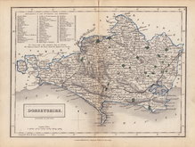
Sidney Hall 1831 [1852]
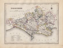
Roger Creighton 1831 [c.1842]
Gray & Son 1833


22x17 cm
HOGG EDITION
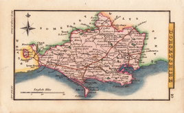
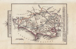
An Accurate Map of DORSET SHIRE Drawn from the best Maps Charts &c. & Regulated by Astronl.Observns. By T.Kitchin Geog.r
First published in The London Magazine by R Baldwin from 1750, the maps were subsequently published in England Displayed by S Bladon etc., in 1769 and under various titles including Boswell's Antiquities by Alexander Hogg from 1786 to 1798.
Arms of Dorchester.
This good clean example on good paper is from a publication by Alexander Hogg in very good later hand colour.
Quick Links


Wiltshire Maps

Somerset Maps
×