
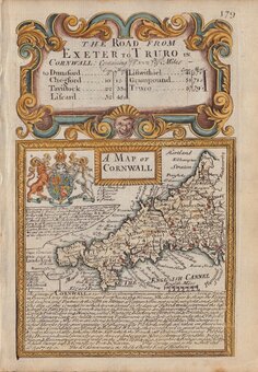
Cornwall Maps
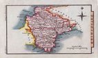
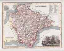
Devon Maps
( Page 1 of 2 )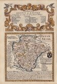
Owen & Bowen 1720
Henry Cooper 1808
John Cary 1822

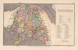
William Pinnock 1823
Sidney Hall 1830
Rowe Robert 1831
Sidney Hall 1834
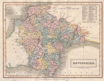
Robert Scott 1840


30x24 cm
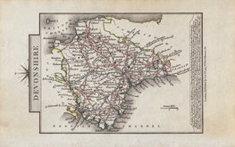
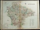
Copper engraving by the firm of J & C Walker from a drawing by R. Creighton for publication in A Topographical dictionary of England… published by Samuel Lewis and Co. from 1831. The work achieved considerable success and was re-issued many times by Lewis until 1849. During this time the maps were amended and updated to include electoral information and the rapidly expanding railway network, with most counties known in at least six different states.
Good example from the 1845 edition with the addition of the poor-law unions. Original hand colour.
Batten & Bennett Printed Maps of Devon ref. 103 (later issue).
Quick Links

Somerset Maps

Dorset Maps
×