
Somerset Maps
Devon Maps
( Page 2 of 2 )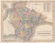
Sidney Hall 1830 [1831]
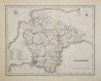
Roger Creighton 1831 [1845]
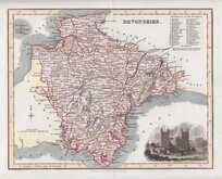
Robert Scott 1833 [1840]
Thomas Moule 1837 [1842]
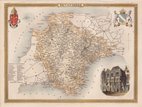
Joshua Archer 1842 [1858]
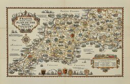
Alfred Taylor Pratts West Country 1932
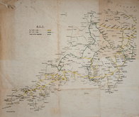
Railways Anonymous 1950
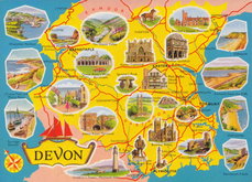
Devon Map Postcard 1970


24x19 cm
FIRST EDITION
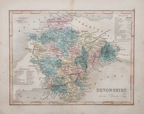
DEVONSHIRE.
ENGRAVED BY SIDY. HALL
This series of maps first appeared in Gorton's Topographical Dictionaryissued in parts over a three year period from 1830, the complete work not published again after 1833. The maps were then issued in A New British Atlas…, Sidney Hall's British Atlas…, A Travelling County Atlas… and other variations on the title, from 1834 until c.1888. It's popularity due in part to Hall's continuous updating of the plates to include the latest railways. The maps were intaglio printed until c.1858 and then by lithographic transfer.
This example of the map of Devonshire, with the dated imprint of 1830, is the first published state issued in Gorton's topographical dictionary by Chapman and Hall in 1831 and 1833.
Good hand coloured example.
Batten & Bennett Printed Maps of Devon ref.101.1
Quick Links


Dorset Maps
Cornwall Maps
×