
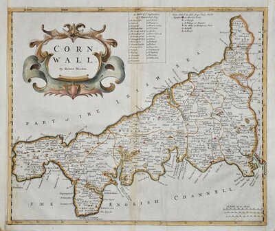
Cornwall Maps
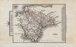
Devon Maps
( Page 1 of 2 )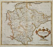
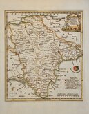
Robert Morden 1695

Owen & Bowen 1720
Thomas Kitchin 1750 [1769]
Henry Cooper 1808
Rowe Robert 1816 [1831]

William Pinnock 1819 [1823]
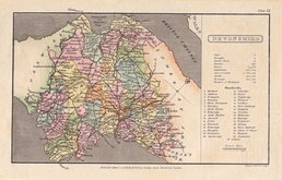
Sidney Hall 1820 [1834]
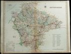
John Cary 1822


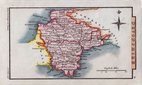
16x13 cm
UNCOMMON POCKET MAP
DEVONSHIRE
Published by G.& W.B. Whittaker, Ave Maria Lane, 1821.
Neele & Son Sc. 352, Strand.
Engraved by the firm of Neele & Son; Samuel John Neele (1758-1824) and son, James Neele (1791-1868) for publication in Pinnocks County Catechisms, a series of eighty-three volumes published in parts by Pinnock & Maunder from 1819. The maps were re-issued in Pinnock's County Histories and other titles from 1820 until 1825.
This example, with the imprint of publisher G. & W.B. Whittaker, is from the 1821 or 1823 edition The Traveller's Pocket Atlas.
Some spotting and light marks.
Ref. Batten & Bennet Printed Maps of Devon 86.3.
Quick Links

Dorset Maps

Somerset Maps
×