
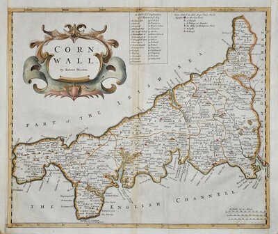
Cornwall Maps
Devon Maps
( Page 1 of 2 )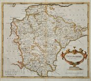
Robert Morden 1695
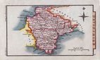
Owen & Bowen 1720
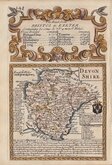
Thomas Kitchin 1750 [1769]
Henry Cooper 1808
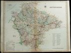
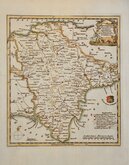
Rowe Robert 1816 [1831]

William Pinnock 1819 [1823]
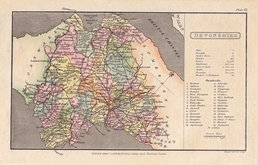
Sidney Hall 1820 [1834]
John Cary 1822


18x11 cm
FIRST EDITION ORIGINAL HAND COLOUR
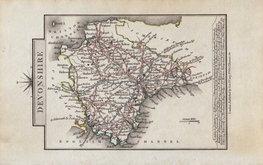
DEVONSHIRE
Cooper del.t et sculp.t
Published Janu.y 1. 1808, by R. Phillips, Bridge Street Blackfriars London.
Cooper del.t et sculp.t
Copper engraving by Henry Cooper (fl.1804-1819) first published A Topographical Dictionary of the United Kingdom...Accompanied by Forty-Six maps, Drawn Purposely For This Work, On An Original Plan. By Benjamin Pitts Capper...Richard Phillips in 1808. There were several later publications of the same work by various publishers until 1839.
Good example in original hand colour from the first issue by Richard Philips in 1808.
Batten & Bennet Printed Maps of Devon ref. 72.1
SPECIAL OFFER MOUNT OPTION AVAILABLE AT CHECKOUT FOR UK POSTAGE
Quick Links

Somerset Maps

Dorset Maps
×