
England & Wales
Cornwall Maps
( Page 1 of 3 )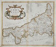
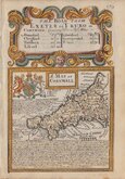
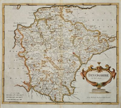
Robert Morden 1695
Emanuel Bowen 1720
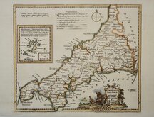
Thomas Kitchin 1749 [1769]
John Cary 1787 [1793]
Benjamin Baker 1791
Robert Butters 1803
Nathaniel Coltman 1806 [1809]
Sidney Hall 1820 [1834]


24x20 cm
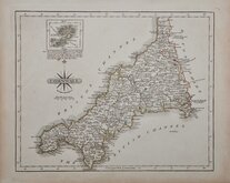
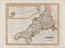
STEEL ENGRAVING. VIGNETTE OF LAUNCESTON CASTLE.
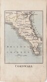
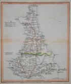
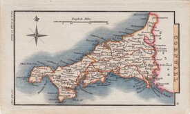
CORNWALL
Pubd. by Archd. Fullarton & Co. Glasgow.
Steel engraving by Robert Scott first published in Bell's New and Comprehensive Gazetteer in 1833. The text for the gazetteer was largely copied from Lewis' Topographical Dictionary of 1831 and in 1839 Lewis obtained an injunction against Bell for plagiarism and the work was withdrawn. Archibald Fullarton, the publisher ofBell's Gazetteer republished the maps with new text in The Parliamentary Gazetteer from 1840 until 1849. The engraving work was shared between Gray & Son, James Neele and Robert Scott with most maps copied from those by Sidney Hall in an earlier topographical dictionary, John Gorton'sTopographical Dictionary of Great Britain and Ireland published in 1831.
Inset of the Scilly Isles.
This map has the compass rose used by Robert Scott and the vignette of Launceston Castle bears his imprint.
Some spotting otherwise a good hand coloured example.
Quick Links

Devon Maps

Sea Charts
×