
Sea Charts
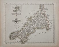
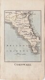
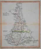
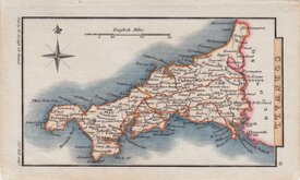
Cornwall Maps
( Page 1 of 3 )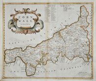
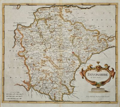
Robert Morden 1695
Emanuel Bowen 1720
Thomas Kitchin 1749 [1769]
John Cary 1787 [1793]
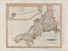
Benjamin Baker 1791
Robert Butters 1803
Nathaniel Coltman 1806 [1809]
Sidney Hall 1820 [1834]


23x18 cm
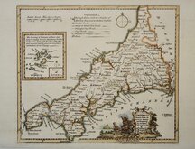
UNCOMMON. FIRST MAGAZINE ISSUE.
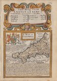
CORNWALL
Engraved by B.Baker Islington
Copper engraving by Benjamin Baker (1766-1841) born in London, the third son of Edward Baker (1730-1797) mathematical instrument maker of Fetter Lane, he was apprenticed to a watchmaker, Thomas Beresford but turned over to Mapmaker, engraver and globemaker, William Palmer in 1782. He became principal engraver to The Ordnance survey in 1804.
The maps were prepared for publication in The Universal Magazine of Knowledge and Pleasure..., appearing in the issues between 1791-1797, published by W. Bent. This was the second series of county maps produced in the magazine, the first series by Emanuel Bowen and Thomas Kitchin was published between 1747-1766 by John Hinton. Baker's maps were based on the 'quarto' maps of John Cary published from 1787.
The maps also appeared unchanged in Maps of the Several Counties and Shires in England… published by Darton and Harvey in 1804. Laurie & Whittle acquired the plates and made a number of revisions including a compass rose behind the title and their imprint, publishing them in Laurie & Whittle's New and Improved English Atlas… 1807 & 1816.
Good, clean, hand coloured example from the first issue published in The Universal Magazine of Knowledge and Pleasure... for August 1791.
Inset of the Isles of Scilly. Folds as issued. Uncommon.
Quick Links


England & Wales
Devon Maps
×