
Far East & India
Asia
( Page 1 of 5 )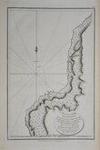
Sakhalin La Perouse 1798
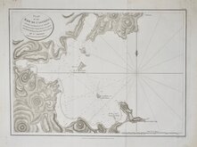
De-Kastri Perouse 1798
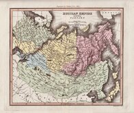
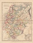
Russian Empire Walker 1820
Russia Thomson 1820
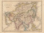
Asia Sidney Hall 1826
Russia Sidney Hall 1826
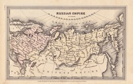
Russian Empire Starling 1831
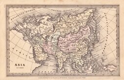
Asia Starling 1831

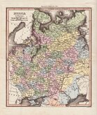
£45 South West Russia Johnston
Ref: 6036.27
Add to
basket
Thanks,Your Product Has Been Added To Basket

58x45 cm
SOUTH-WEST RUSSIA
Showing the extent of THE KINGDOM OF POLAND previous to its partition in 1772 BY KEITH JOHNSTON, F.R.S.E.
by W.& A.K. Johnston, Edinburgh.
William Blackwood & Sons, Edinburgh & London.
Double page lithographic printed map by Alexander Keith Johnston (1804-1871), published in The Royal Atlas of Modern Geography...by Alexander Keith Johnston Geographer to the Queen for Scotland...William Blackwood & Sons, Edinburgh and London, 1861.
Overprinted in blue, indicating rivers and seas, and hand coloured to indicate political boundaries.
Very good condition.
Quick Links

Eastern Europe & Turkey

Historical Maps
×