
Eastern Europe & Turkey
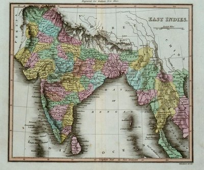
Asia
( Page 1 of 5 )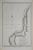
Sakhalin La Perouse 1798
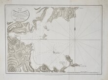
De-Kastri Perouse 1798
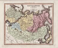
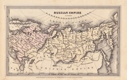
Russian Empire Walker 1820
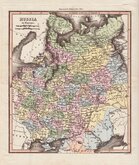
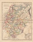
Russia Thomson 1820
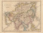
Asia Sidney Hall 1826
Russia Sidney Hall 1826
Russian Empire Starling 1831
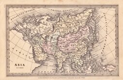
Asia Starling 1831


50x36 cm
(De-Kastri, Ulchsky District Khabarosk Krai, Russia.)
PLAN | OF THE | BAIE DE CASTRIES. | ON THE EASTERN COAST OF TARTARY, | in 51o.29'.0". of Latitude North & 139o. 39'. 0". of Longitude | East from the meridian of Paris; from a Survey in July 1787. | BY SEN. BERNIZET. | Under the inspection of Mr. de la Perouse.
Engraved by S.Neele 352 Strand.
Published as the Act directs, Nov.r 1.st 1798, by G.G & J.Robinson, Paternoster Row, London.
Jean-Francois de la Perouse (1741-1788) joined the French navy at the age of fifteen and fought against the British in the Seven Years War. After the war he led an expedition around the world to complete the Pacific discoveries of James Cook. Among his many surveys he charted most of the Strait of Tartary and the islanders he encountered told him that the island was called "Tchoka". The island is known as Sakhalin today.
Vertical fold but a good clean example.
Quick Links

Far East & India

Historical Maps
×