
Australasia & Pacific
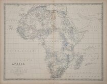
Africa
( Page 1 of 9 )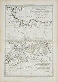
Morocco Algiers Tunis & Tripoli 1787
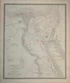
Egypt by Johnston 1843
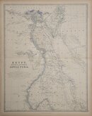
Egypt and Arabia by Johnston 1869
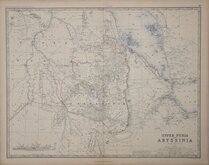
Ethiopia by Johnston 1869
W & A K Johnston 1869
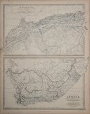
North West and South by Johnston 1869
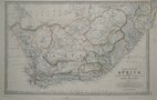
South Africa by Johnston 1893
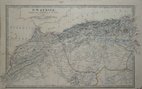
North West Africa Johnston 1893


57x44 cm
KEITH JOHNSTON'S GENERAL ATLAS
AFRICA
BY KEITH JOHNSTON. F.R.S.E.
Engraved, Printed and Published by W.& A.K.Johnston, Edinburgh & London.
Large lithographic printed map published in The Royal Atlas Of Modern Geography Exhibiting, In A Series Of Entirely Original And Authentic Maps, The Present Condition Of Geographical Discovery And Research In The Several Countries, Empires, And States Of The World By The Late Alexander Keith Johnston...With Additions And Corrections To The Present Date By T.B. Johnston... W.& A.K. Johnston, Edinburgh And London, MDCCCXCIII.
Overprinted in blue indicating rivers and sea and hand coloured in line and wash indicating political boundaries.
Additional creasing at centrefold. 8cm. split at lower centrefold. Two small holes at top centre borderline and in map above Cape Colony. Several short tears and creases at paper edges. Some staining to borders.
Quick Links
North America

South America
×