
Australasia & Pacific
Africa
( Page 1 of 9 )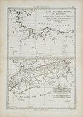
Morocco Algiers Tunis & Tripoli 1787
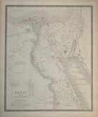
Egypt by Johnston 1843
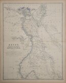
Egypt and Arabia by Johnston 1869
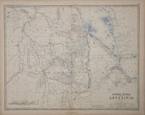
Ethiopia by Johnston 1869
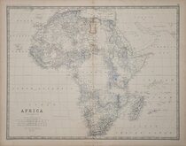
W & A K Johnston 1869
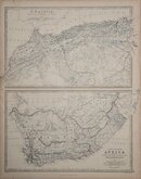
North West and South by Johnston 1869
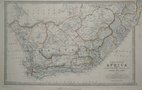
South Africa by Johnston 1893
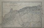
North West Africa Johnston 1893

£12 North West Africa Johnston
Ref: a6012.3gw
Add to
basket
Thanks,Your Product Has Been Added To Basket

49x29 cm
N.W.AFRICA, | Comprising | MAROCCO, ALGERIA & TUNIS. | BY KEITH JOHNSTON. F.R.S.E.
Lithographic colour printed map published in Keith Johnston's General Atlas under the full title:
The Royal Atlas Of Modern Geography Exhibiting, In A Series Of Entirely Original And Authentic Maps, The Present Condition Of Geographical Discovery And Research In The Several Countries, Empires, And States Of The World By The Late Alexander Keith Johnston ... With Additions And Corrections To The Present Date By T.B. Johnston ...W.& A.K. Johnston, Edinburgh And London, MDCCCXCIII.
Waterstains to left side of map. Small lower margin. Original hand colour.
Quick Links

South America
North America
×