
Australasia & Pacific
Africa
( Page 1 of 9 )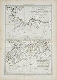
Morocco Algiers Tunis & Tripoli 1787
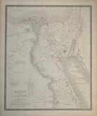
Egypt by Johnston 1843
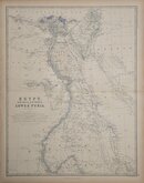
Egypt and Arabia by Johnston 1869
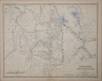
Ethiopia by Johnston 1869
W & A K Johnston 1869
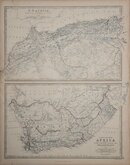
North West and South by Johnston 1869
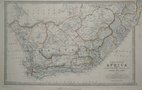
South Africa by Johnston 1893
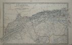
North West Africa Johnston 1893

£10 Central Africa John Bartholomew
Ref: 1131.87
Add to
basket
Thanks,Your Product Has Been Added To Basket

41x31 cm
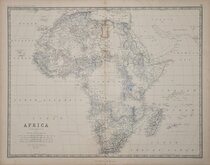
CENTRAL AFRICA
87 THE CITIZEN'S ATLAS 88
John Bartholomew & Co. Edinr.
Colour lithograph printed map by John George Bartholomew (1860-1920), geographer and cartographer to King George V. and successor to the famous mapmaking and engraving business founded by his great-grandfather George Bartholomew (1784-1871). Published in Bartholomew's Citizen's Atlas of the World...George Newnes, London 1898.
Showing Congo State [Democratic Republic of the Congo], British East Africa [South Sudan, Uganda, Kenya, Rwanda], British and Italian Somaliland [Somalia], German East Africa [Tanzania, Burundi], Angola, French Congo [Republic of the Congo, Gabon, Central African Republic], Kamerun [Cameroon], and parts of Nigeria, Abyssinia [Ethiopia], Portuguese East Africa [Mozambique], Rhodeia [Zimbabwe, Botswana], German South West Africa [Namibia].
Quick Links
North America

South America
×