
Map Books
Atlases & Road Books
( Page 1 of 4 )
Gardner English Traveller
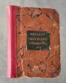
Wallis's Travellers Companion
Ogilby Traveller's Guide 1712
Cox Magna Britannia Hertfordshire 1720
Magna Britannia Hertfordshire by Thomas Cox 1720
Senex Norden Speculum Middlesex & Hertfordshire 1723
Senex Norden Speculum Middlesex & Hertfordshire 1723
Mostyn Armstrong Great Post-Roads 1783


Request Condition Report
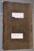
Reuben Ramble's Travels through the Counties of England. With Maps and Historical Vignettes.
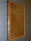
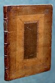
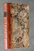
Quarto (22x19) Red cloth binding with gilt title to front board and spine. Original boards skilfully re-backed with remains of spine re-laid retaining original yellow endpapers. Hand coloured lithographic frontispiece and title page and 40 hand coloured lithographic maps surrounded by vignettes.
The maps first appeared as copperplate printed miniature maps on an extremely rare set of playing cards by Thomas Crabb c.1819 and passed to Robert Miller who published them in his miniature atlas Miller's new Miniature Atlas c.1821. William Darton had acquired the plates by 1822 issuing them in atlases c.1822 and playing cards c.1825, all very rare. They next appeared in this publication, the maps now printed by lithographic transfer surrounded by vignettes intended for the education of children. They were first published in five parts from c.1843 and appeared complete in atlas form c.1850.
Reuben Ramble was a pseudonym of Rev. Samuel Clark (1810-1875). Clark worked in his father's basket and brush-making business from the age of 13 but was able to continue education in languages, becoming fluent in Latin, Greek, Hebrew, French and Gernan. In 1836 he left for London and shortly became William Darton's partner. He continued his studies while working and matriculated at Magdalen College, Oxford, obtaining his degree seven years later. In 1843 his partnership with Darton ended but he wrote a number of books on geography for children published by his former partner. He became a curate in Northamptonshire but turned to education, specialising in geography, and from 1851 until 1862 he was Principal of the Battersea Training College. In his final years he returned to pastoral work at Brewardine and Eaton Bishop.
This is a very good complete example of his highly sought after children's atlas in full original hand colour throughout. Some occasional off-setting from the typeset text but generally a very clean copy.Original boards with gold title skillfully and sympathetically rebacked retaining part original spine with gilt title and retaining original endpapers.
Reference works usually date this book at c.1850 but copies have been found with dates as early as 1843. This copy has a small ownership signature inside front board dated 26.6.43 and matching manuscript price record inside back cover; Lake, Falmouth -/6. Tantalisingly the century is not given in this date of '43 and the price record in the back is ambiguous.
Quick Links
Antiquarian
General & Collectable
×