
Antiquarian
Atlases & Road Books
( Page 1 of 4 )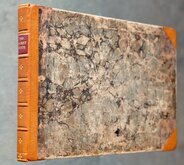
Gardner English Traveller
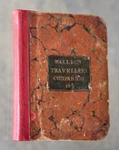
Wallis's Travellers Companion
Ogilby Traveller's Guide 1712
Cox Magna Britannia Hertfordshire 1720
Magna Britannia Hertfordshire by Thomas Cox 1720
Senex Norden Speculum Middlesex & Hertfordshire 1723
Senex Norden Speculum Middlesex & Hertfordshire 1723
Mostyn Armstrong Great Post-Roads 1783


£100
George Alexander Cooke 1826 Ref: 6049xm
Add to basket
Thanks,Your Product Has Been Added To Basket
Request Condition Report
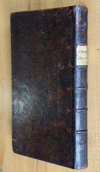
A TOPOGRAPHICAL AND STATISTICAL DESCRIPTION OF THE COUNTY OF KENT... LONDON: SHERWOOD GILBERT, & PIPER, PATERNOSTER ROW... n.d. [1826] (together with): TOPOGRAPHICAL AND STATISTICAL DESCRIPTION OF THE COUNTY OF DURHAM...London; Printed by Assignment from the Executors of the late C. Cooke, FOR SHERWOOD JONES AND CO. PATERNOSTER-ROW... n.d. [1826].
Two volumes in one forming part of Cooke's Topographical Library, or British Traveller's Pocket County Directory.
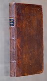
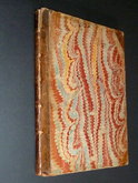
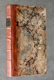
18mo. (10x15cm.) Half black leather and marbled boards. Spine with gilt titles and ruled bands with blind stamped decoration.
Half title | Title page for Kent | 248pp. Description of Kent, including Distance Tables, Itinerary of the Roads, List of Fairs etc., Index, Map of Kent, 8 engravings, 2 to a page, of St. Pancras, Gravesend, Canterbury, Knowle, Lyme Church, Wingham College & Church, Penshurst Castle. | Advertisement for Cooke's Topographical Library | Map of Durham | Title Page for Durham | 180 pp. Description etc. of Durham with 4 engravings, Barnard Castle, Axwell Park, Durham Cathedral, Lumley Castle.
Engraved views uncoloured , maps in original wash hand colour depicting the lathes of Kent and Wards of Durham.
Very good condition throughout, binding firm with only light wear to corners and board edges. Some browning to the pages of engraved views. Maps clean.
Quick Links
General & Collectable
Map Books
×