
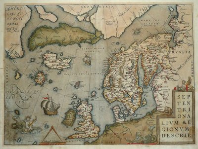
Atlantic & Poles
World Maps and Charts
( Page 3 of 4 )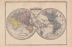
Libraire Historique et Scientific 1877
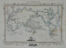
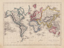
John Tallis 1851
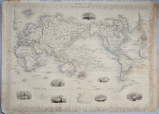
John Tallis 1851
Mountain Chains Johnston 1843
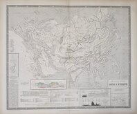
William Hughes 1860
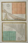
Charts of Mountains and Rivers 1864

John Bartholomew 1892

W. & A.K. Johnston 1884


33x26 cm
EASTERN HEMISPHERE
Surrounded by decorative vignettes.
Map drawn and engraved by J. Rapkin.
Published by John Tallis.
Original outline colour. Centrefold.
SPECIAL OFFER MOUNT AVAILABLE AT CHECKOUT (UK Only)
Quick Links
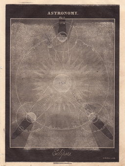
Celestial

Historical Maps
×