
Historical Maps
World Maps and Charts
( Page 4 of 4 )
Mackenzie 1870
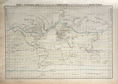
World Isothermal chart. 1844
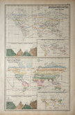
World Flora & Fauna Charts. 1844
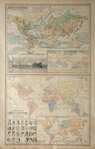
World Physical & Ethnographic Charts 1844


24x18 cm
Steel engraving by William Hughes published in his Pocket Atlas c.1860.
Original hand colour.
Quick Links

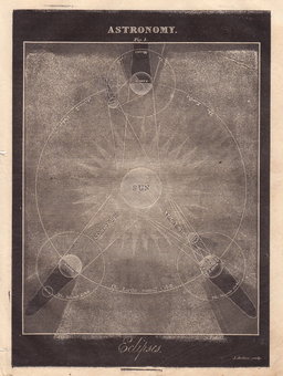
Celestial
Atlantic & Poles
×