
Whole of Britain & British Isles
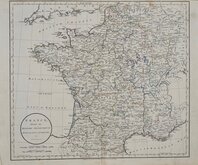
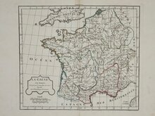
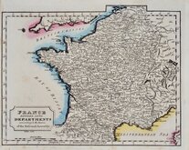
Whole of France
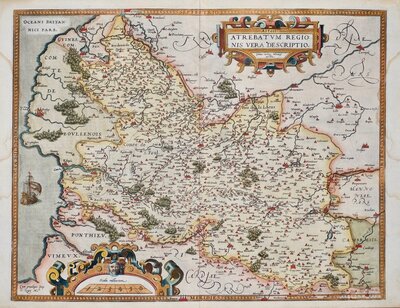
( Page 1 of 5 )
John Senex 1711
Herman Moll 1727
Georges Louis le Rouge 1756
Dilly & Robinson 1785
John Russell 1799
Delamarche 1806
Samuel Topham 1808
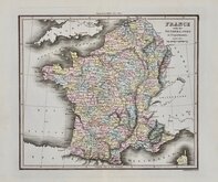
Michael Thomson 1816


26x20 cm
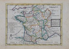
FRANCE Divided into all its PROVINCES and Aquisitions &c. Agreeable to Modern History By H.Moll Geographer
Published in Atlas Minor: or a new and curious set of sixty-two maps...By Herman Moll, Geographer. London, Thos. Bowles and John Bowles London 1727 & 1729.
Little is known about the private life of Herman Moll but his output as an engraver, cartographer, mapseller and globemaker was considerable. Born in Germany about 1654 he is first recorded in London in 1678 producing maps for Moses Pitt's English Atlas. He married Ann Magdalen sometime before 1686 and a son, Gillis Hendrick Moll was baptised at St. Anne, Blackfriars in that year. He worked from addresses in Blackfriars, Charing Cross, and The Strand until his death on 22nd September 1732. His will left all his goods and etates in "Great Brittaine and Germany or elsewhere" to his daughter Henderina Amelia Moll. There was no mention in the will of maps or plates but most came into the hands of John Bowles and Thomas Bowles.
Light spotting in margins. Good example in original hand colour.
Quick Links

Parts Regions & Departments of France

Whole of Europe
×