
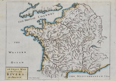
Whole of France
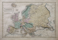
Whole of Europe
( Page 1 of 2 )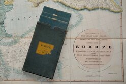
Aaron Arrowsmith 1842
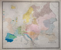
Ethnographic Map 1843
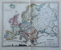
Selina Hall 1843
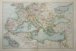
Central Europe by Hughes 1846
August Petermann 1860
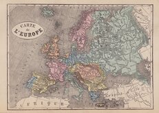
Libraire Historique et Scientific 1877
W & A K Johnston 1884
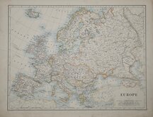
J G Bartholomew 1892

£10
Royal Geographical Society Royal Geographical Society Ref: dsm5220
Add to
basket
Thanks,Your Product Has Been Added To Basket

37x28 cm
Orographical Sketch Map of EUROPE
to illustrate the paper by VAUGHAN CORNISH, D.SC.
Modified Conical Equal-area Projection (Bonne's)
Published by the Royal Geographical Society.
Colour printed lithograph published in The Geographical Journal 1915.
Folds.
Quick Links
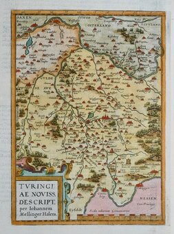
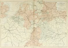
Germany
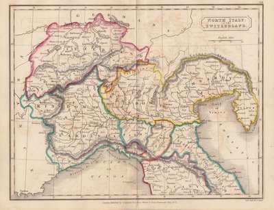
Italy
×