
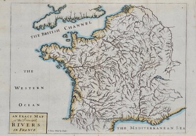
Whole of France
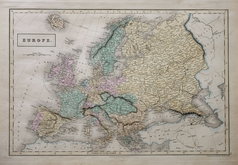
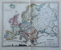
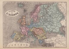
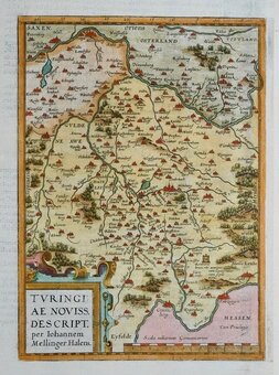
Whole of Europe
( Page 1 of 2 )
Aaron Arrowsmith 1842
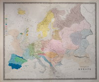
Ethnographic Map 1843
Selina Hall 1843
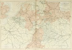
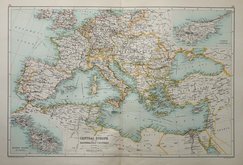
Central Europe by Hughes 1846
August Petermann 1860
Libraire Historique et Scientific 1877
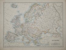
W & A K Johnston 1884
J G Bartholomew 1892


62x43 cm
MAP OF CENTRAL EUROPE, embracing GERMANY, HOLLAND,BELGIUM,WITH ARTS OF FRANCE & SWITZERLAND; showing the ROADS, CANALS, and RAILWAYS. BY W. HUGHES.
Edinburgh. Published by A. & C. Black.
Printed in Colours by W. H. McFarlane, Edinburgh.
Drawn & Engraved by W. Hughes: Aldine Chambers, Patrernoster Row, London.
Drawn and engraved by William Hughes (1818?-1876), Mapmaker, geographer, engraver, printer and publisher, born in Westminster in about 1818, elected Fellow of the Royal Geographical Society 1838. For Adam and Charles Black's General Atlas, Edinburgh 1846.
Small margins as issued.
Quick Links
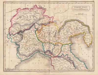
Italy
Germany
×