
Town Plans
Waterways & Railways
( Page 2 of 3 )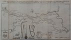
Canal, Leeds to Selby 1774
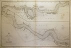
River Thames by Walker 1857
Great Western Railway by Weller 1863
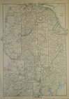
Great Western Railway by Weller 1863
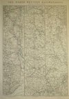
North Western Railway by Weller 1863
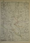
Great Northern Railway, Weller 1863
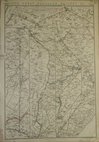
Great Northern Railway, Weller 1863
Eastern Counties Railway by Weller 1863

£75
Tom Bradley Yorkshire Weekly Post Ref: Rm5391
Add to
basket
Thanks,Your Product Has Been Added To Basket
Request
Condition Report
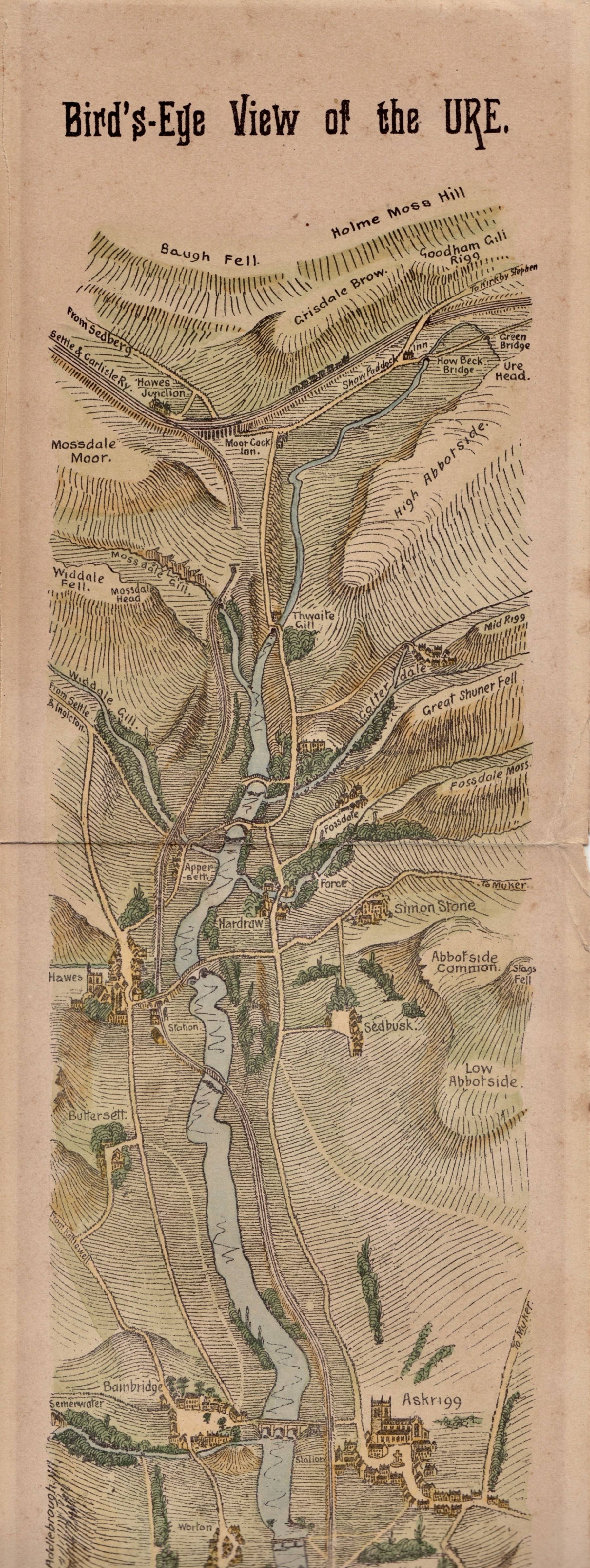
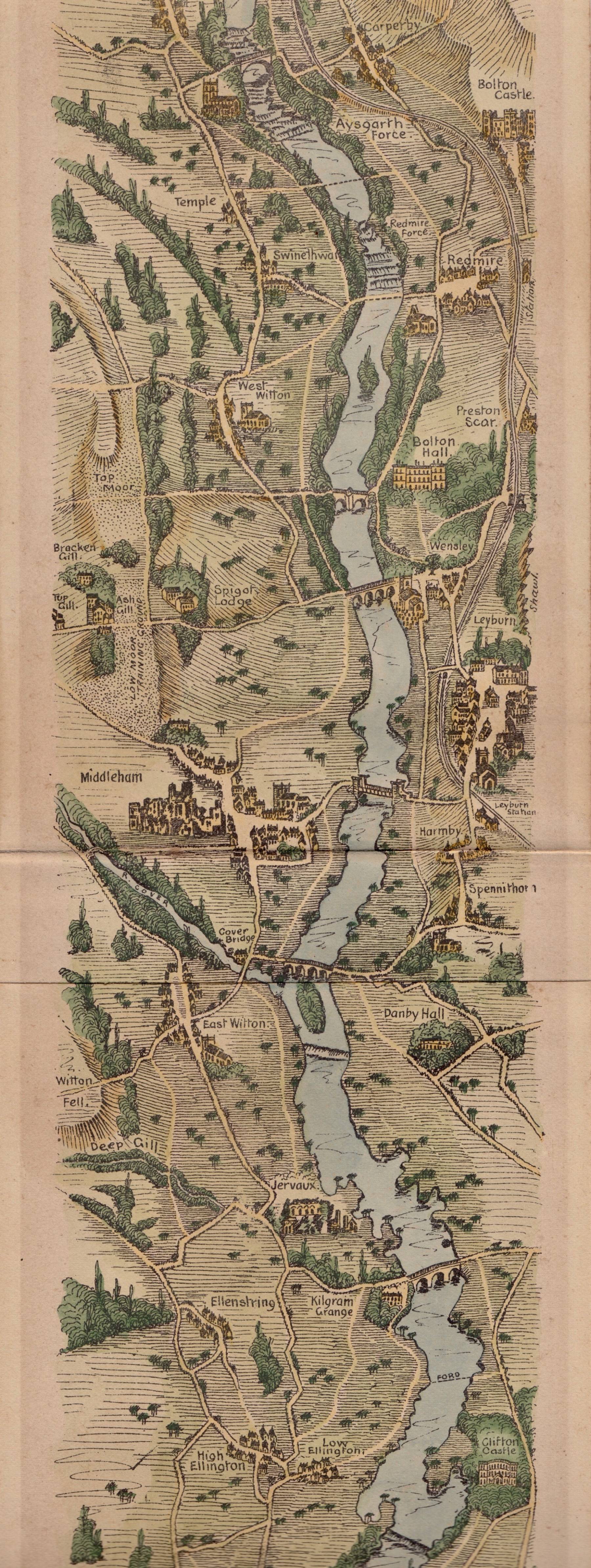
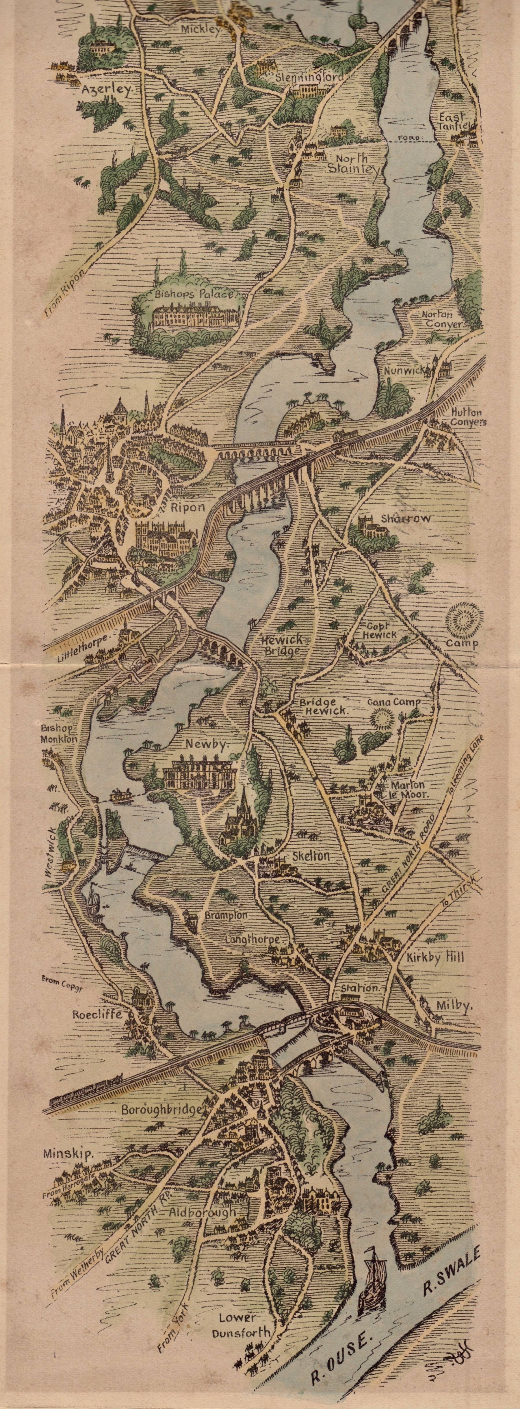
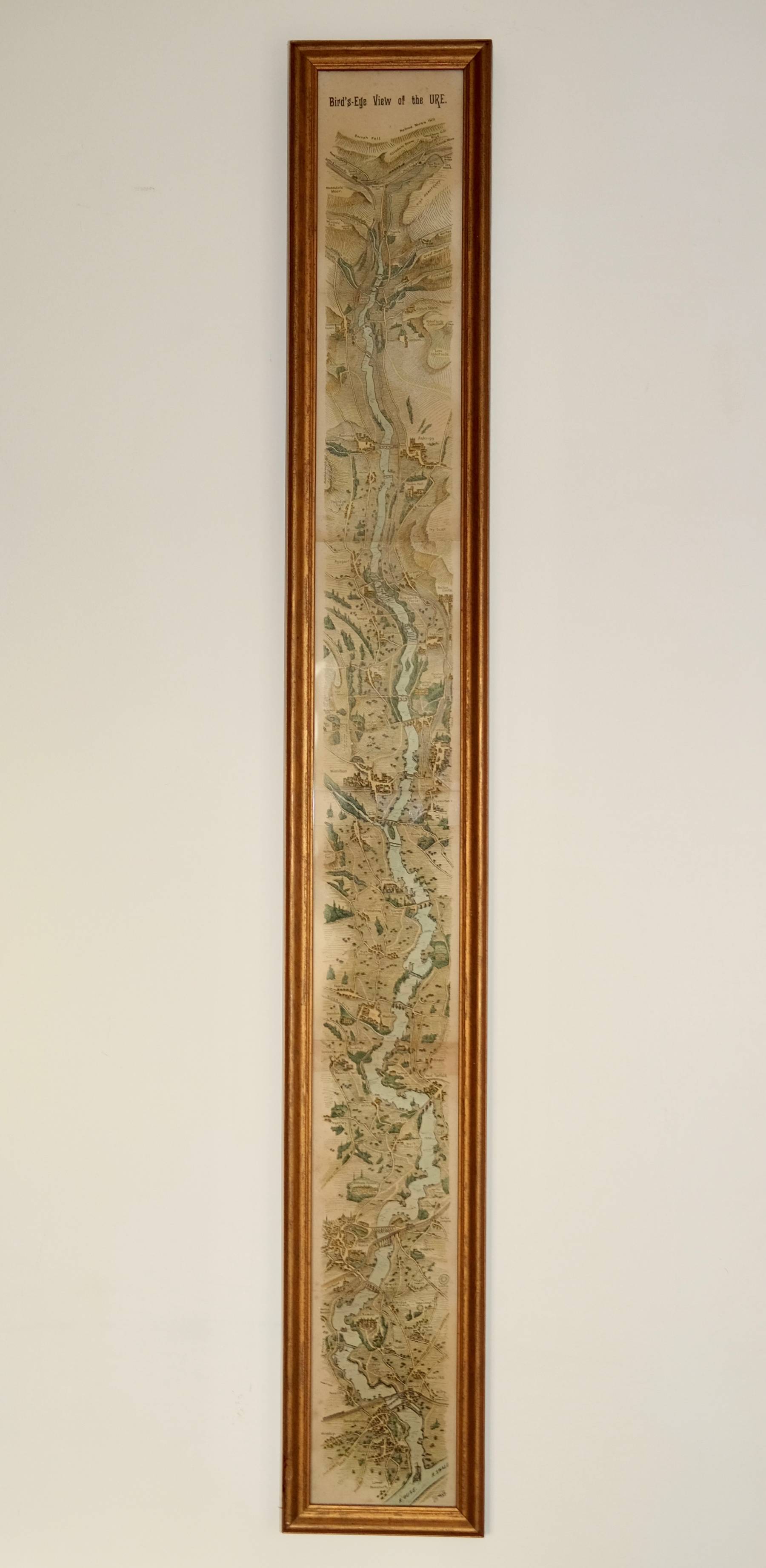
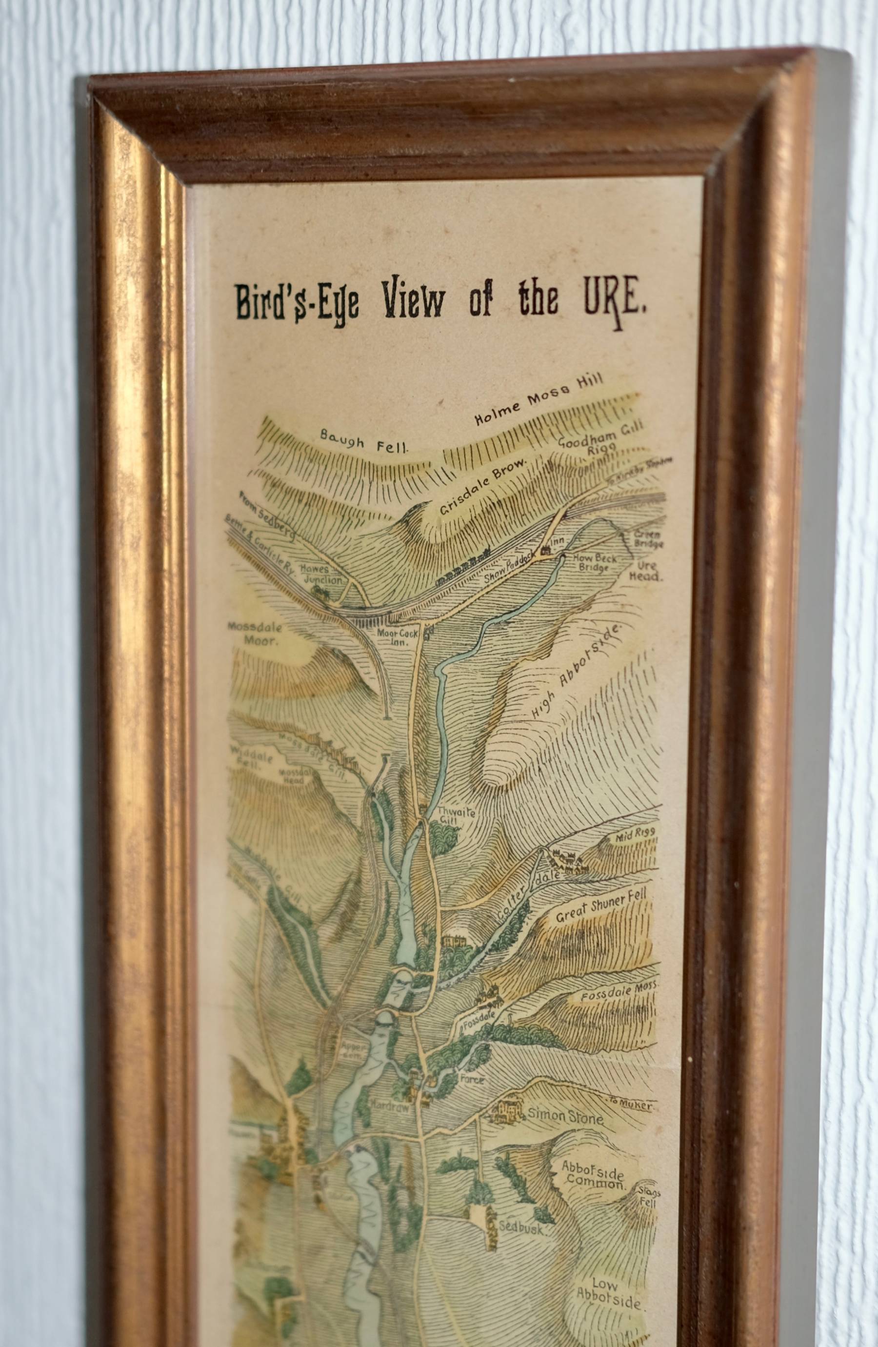
LONG CONCERTINA FOLDED RIVER MAP. UNCOMMON.
Bird's-Eye View of the URE.
TB [Tom Bradley] monogram to lower right corner.
Showing the River Ure from its source at High Abbotside near the Settle & Carlisle Railway passing Appersett, Hawes, Bainbridge Askrigg, Aysgarth, Redmire, West Witton, Leyburn, Middleham, East Witton, Jervaulx Abbey, Masham, West & East Tanfield, Ripon, Boroughbridge and Aldborough before joining with the River Swale and becoming the River Ouse.
Lithographic printed birds-eye map published by Tom Bradley in The Yorkshire Post 1890 and reprinted in individual card covered booklet in 1891.
(The identification of the edition of this map is uncertain as the second issue of 1891 included the words RE-PRODUCED FROM "THE YORKSHIRE WEEKLY POST." in the bottom margin but as the bottom of the map was pasted onto the card covers of the booklet, the wording was often lost when removed from the booklet. But the map is from one of these two late Victorian editions.)
Fine later hand colouring. Slight overall toning , otherwise very good in fine later hand colouring.
FRAME OPTION AVAILABLE FOR UK CUSTOMERS.
Quick Links
Road Maps
London Maps
×