
Waterways & Railways
Town Plans
( Page 3 of 13 )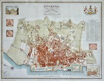
Liverpool 1824
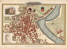
Lancaster 1824
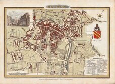
Bolton 1824
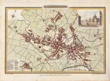
Blackburn 1824
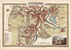
Stockport 1824
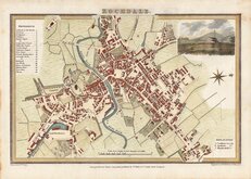
Rochdale 1824
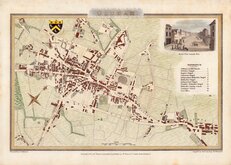
Oldham 1824
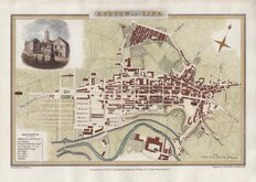
Ashton under Lyne 1824


34x25 cm
BRADFORD YORKSHIRE
Drawn and engraved on steel by John Rapkin for publication in John Tallis's Illustrated Atlas. The plan is bordered with vignettes of notable landmarks of the City drawn and engraved by Henry Winkles.
Old masking tape stain to top edge verso and slight grubbiness to bottom edge but otherwise good condition in later hand colour.
Quick Links

Road Maps

London Maps
×