
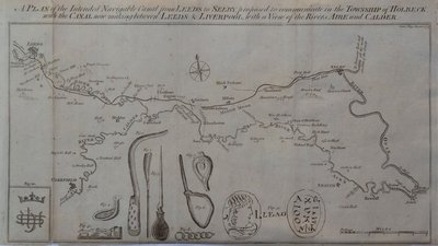
Waterways & Railways
Town Plans
( Page 3 of 13 )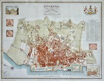
Liverpool 1824
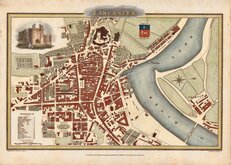
Lancaster 1824
Bolton 1824
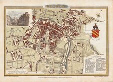
Blackburn 1824
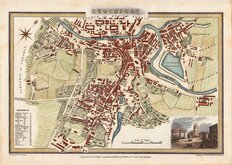
Stockport 1824
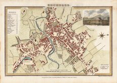
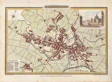
Rochdale 1824
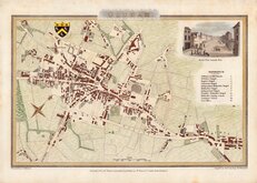
Oldham 1824
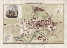
Ashton under Lyne 1824


68x66 cm
Borough of Hertford Reproduced From the Ordnance Survey Map with the sanction of the Controller of H.M.Stationery Office. Lithographed by Cook Hammond & Kell Ltd., 47 & 49 Tothill Street Westminster.
Hand coloured to indicate the Wards of St Andrews, Bengeo and All Saints. Ward names over printed in red. No date. c.1946. Scale 6" to a mile. Folded.
Several old repairs to tears and some staining particularly to margins but an uncommon publication for official use centred on Hertford town.
Quick Links

London Maps

Road Maps
×