
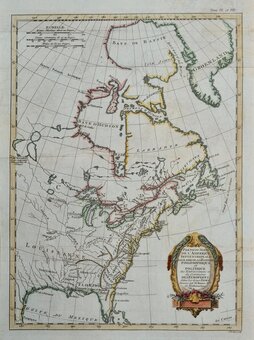
North America
South America
( Page 3 of 4 )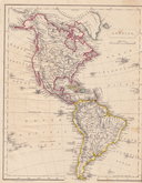
America by Becker 1850
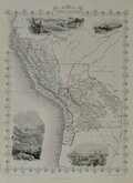
Peru & Bolivia by Tallis 1850
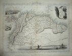
Guyana by Tallis 1851
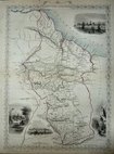
Venezeula by Tallis 1851
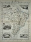
Brazil by Tallis 1851
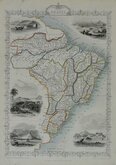
Brazil by Tallis 1851
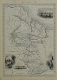
Guyana by Tallis 1851
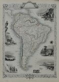
South America by Tallis 1851


12x20 cm
Sketch Map | of the | RIVER TAKUTU | By | Robt. H. Schomburgk. K.R.E. | May 1842.
Lithograph by John Arrowsmith published in the Journal of the Royal Geographical Society by John Murray.
A trubtary of the Branco river, the Takutu forms part of the boundary between Guyana and Brazil.
Quick Links
Africa
Australasia & Pacific
×